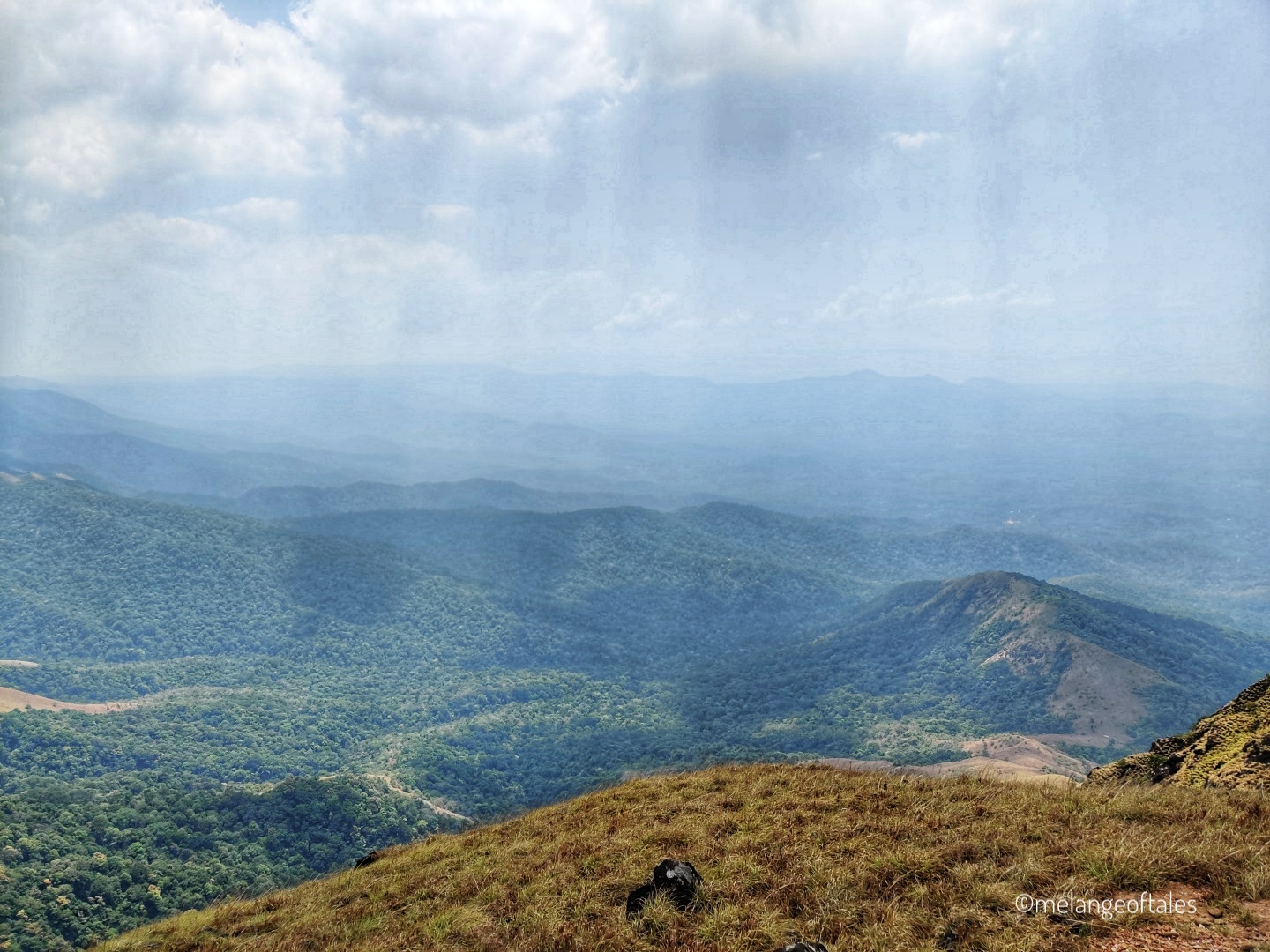
Total Trek Distance : 22 km
Difficult Level : Moderate to Difficult
Best Time to Trek : Sept to March
Time Required : 2 days
Altitude : 5600 ft
When it comes to trekking in the Western Ghats of Karnataka, the Kumara Parvata trek falls under the renowned trails category. This challenging trek in South India is located at the borders of Dakshina Kannada and Kodagu districts. There are 2 different trails of the trek, one starts from Somwarpet in Coorg and the other starts from the ancient Kukke Subramanya Temple in Dakshina Kannada. Trekkers can ascend and descend from either side. Having trekked from both the sides I’d say that the former trail is easier compared to the latter in terms of its difficulty level. In this post I will be giving details on the trek from Kukke Subramanya to Kumara Parvata which is one of the most challenging treks in South India.
Note: The pictures of this trek were clicked in the month of March
How to reach Kukke from Bangalore?
Kukke is around 280 km from Bangalore and will take 5.5 hours by car and 7-8 hours by bus. There is parking space near the trek starting point for 10-12 cars.
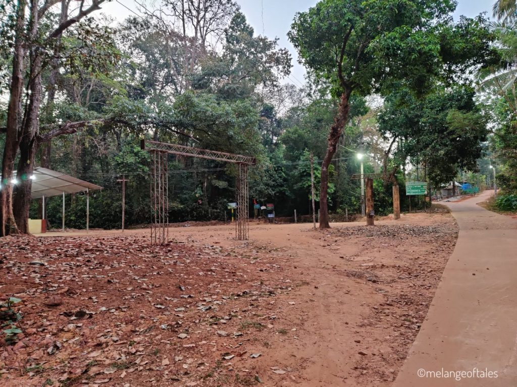
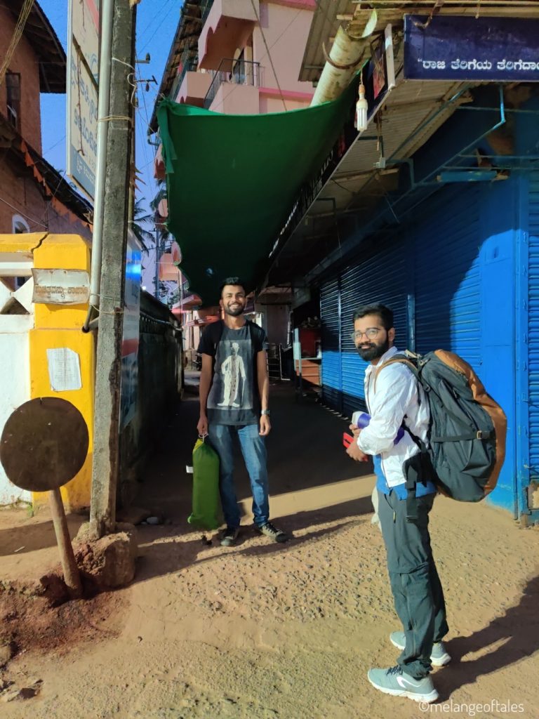
I boarded a non-AC sleeper KSRTC bus on a Friday night at 10.30 pm from Bengaluru to Kukke Subramanya which costed me Rs.592. I reached Kukke at 5 am on Saturday morning.
Where to freshen up?
As soon as you reach Kukke bus stand you can find plenty of auto rickshaws who will suggest/take you to the nearby stays that they’ve tied up with for a minimal cost. You can also find many rooms for refreshing close to the temple street.
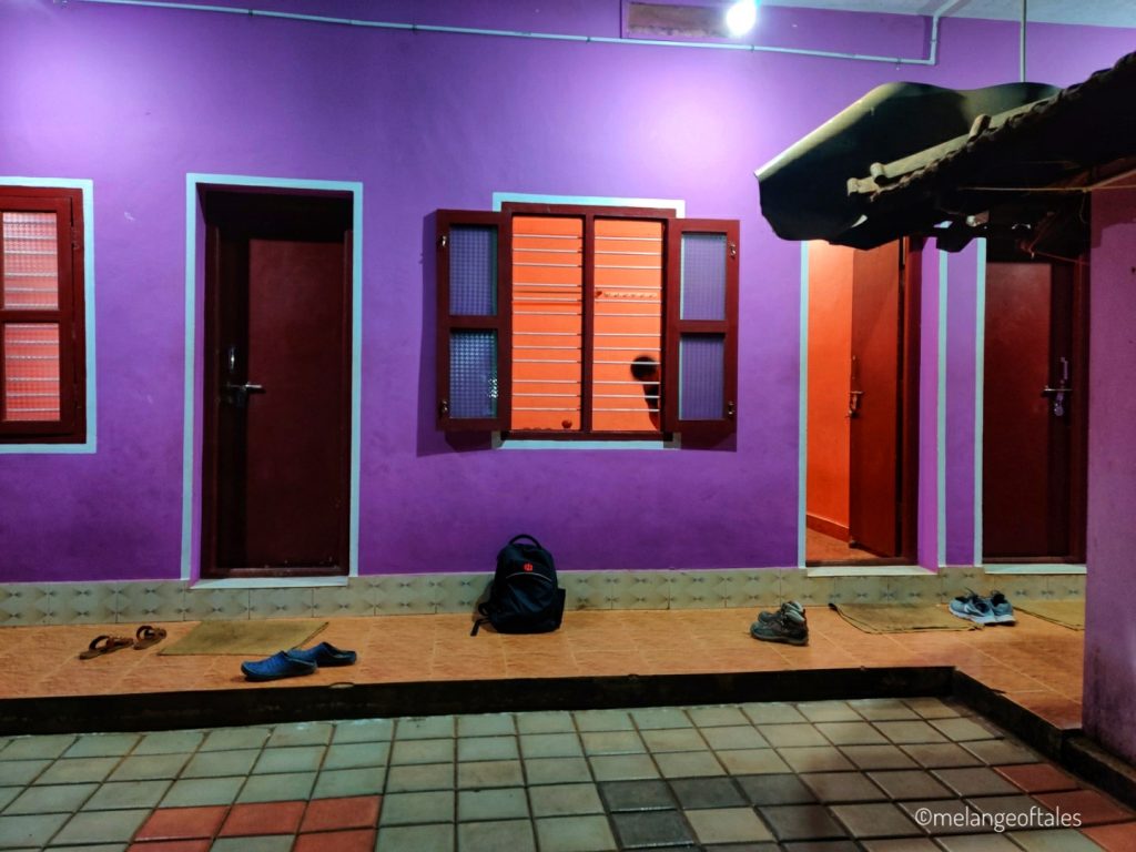
Room rent: Rs.100/- for refreshing
The stays are at a walkable distance to the temple and you can have light breakfast at shops on the temple street.

What to carry?
- ID card
- 2L water bottle
- Basic first aid kit
- Snacks
- Trekking shoes and pole
- Trekking pants and t-shirt
- Cap
- Tents for stay at the Forest Office
- Blanket
- Mosquito repellent
- Torch
- 100g of salt to get rid of leeches on you (needed for the first few post-monsoon treks)
- Sunscreen (SPF 50+)
- Volini Spray
- Power bank
- Toiletries
Things to know about Bhattara Mane
- Bhattara Mane is Bhattru’s house and the only place where you will get food in the Kukke-Kumaraparvata trail. I’d suggest giving them a call and informing prior on how many people are coming for the day. Bhattru’s house will charge Rs.150/- per person for a meal. You will have to clean your plate once you have food.
- People who trek from Kukke to Bhattara Mane and back don’t have to pay the trekking fee.
- Refrain from playing loud music in the dense forest area on the way to Bhattara Mane.
- You might hear the sounds of wild animals and snakes in the dense forest on the way to Bhattara Mane.
- People who don’t have tents can check with the Bhattru if you can stay at their place at a minimal cost.

The Kukke – Kumara Parvata Trek Trail
The trail for the most challenging trek in South India is well defined and you wouldn’t need a guide.

We started the trek at 5.45 am and walked for 1.5 km from the Kukke Subramanya Temple Street taking a right turn which led us straight to the trek start point.
Forest entrance/Trek Start Point to Bhattara Mane (Distance: 6 km)
In the first 10 minutes of the ascent itself you can find that the trail becomes steep and you start sweating. Don’t forget to hydrate yourself with sips of water every 10-15 minutes.
Note: You won’t get mobile reception once you start the trek.


The first landmark will be the big stone in the below picture where it says that you have covered 2.5 km. We sat there for few minutes before continuing the trek.


If the density of the forest reduces, it means that you are close to Bhattara Mane. In the below picture you can see the arrow mark that shows left to reach Bhattara Mane. If you don’t take left you will directly reach the forest office.
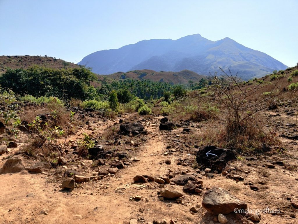
We reached Bhattara Mane at 10 am and had our breakfast and went to the forest office at 10.30 am to pay the trek fee.
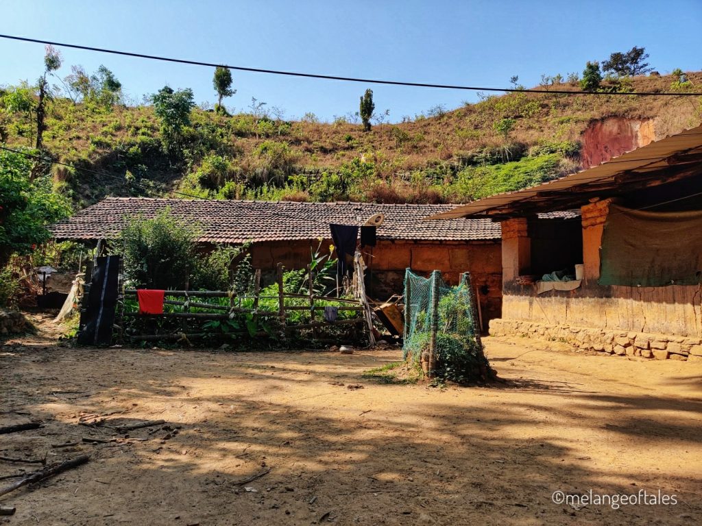
Forest Office to Sesha Parvata (Distance: 3.5 km)
Many people take rest at the forest office area for the day and start their early morning trek to Kumara Parvata peak to witness the sunrise. We went ahead trekking soon after the registration. You can start the trek from the forest office only before 11 am and not after that. You should reach the Forest Office before 6 pm on the way back.
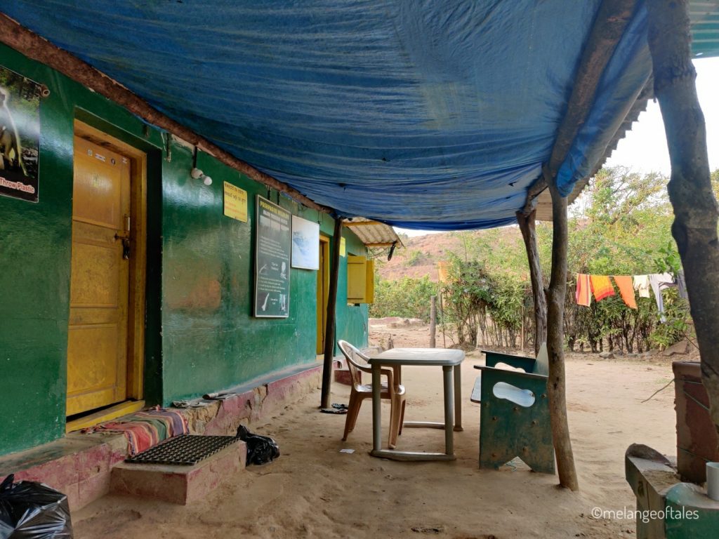
At the Forest Office, the officials will count the number of items and plastic wrappers that you are carrying in your bags and you will be asked to pay a deposit of Rs.500/- which will be returned after the trek, if the count of the plastic items match.
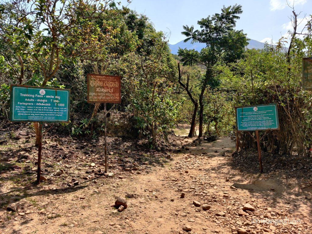
Trekking fee: Rs.350 (Indians) and Rs.1000 (Foreigners)
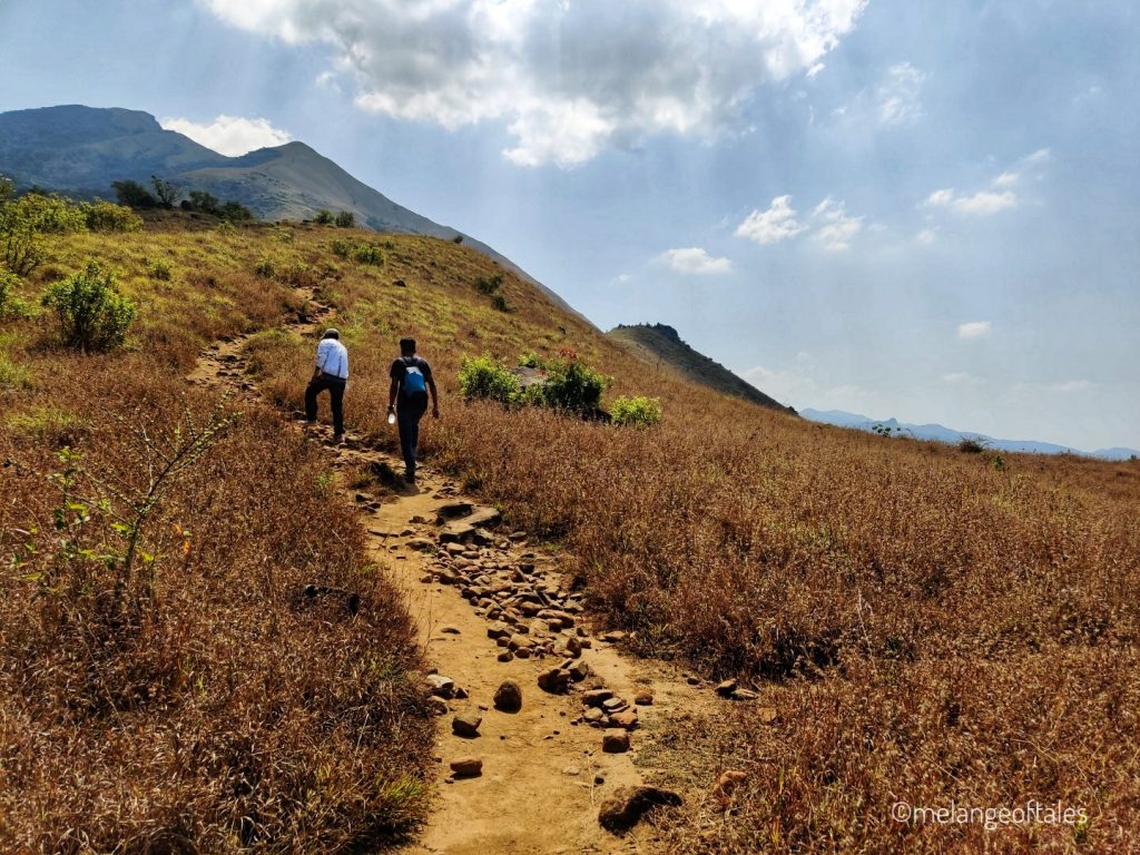
If you are visiting post monsoon, there will likely be streams from where you can fetch drinking water if you are short on it. The trail keeps ascending and after 2 km of trekking from the Forest Office you will find Kallu Mantapa which indicates that you have covered the trek half way to Sesha Parvata.


Beyond Kallu Mantapa the ascent becomes steep and hence the trail becomes more difficult. On reaching Sesha Parvata’s peak you will experience a beautiful panoramic view of the Western Ghats. And if there is a cool breeze blowing like it did for us , you can’t possibly ask for more 🙂

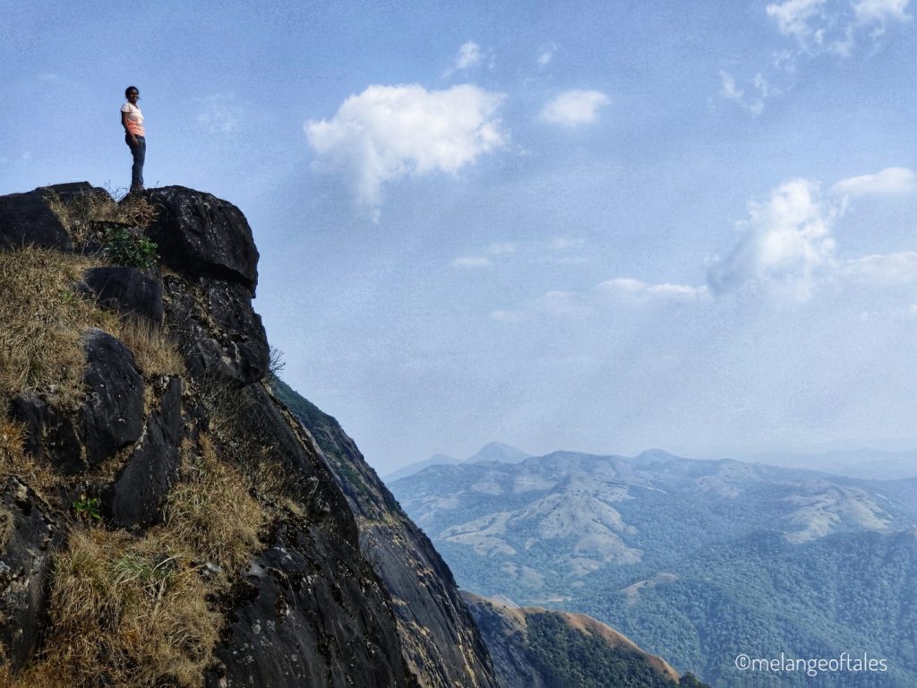
Sesha Parvata to Kumara Parvata (Distance: 1.5 km)
From Sesha Parvata we again entered the forest area for a few meters to reach the Kumara Parvata peak. Midway you will find a very steep and slippery area which is almost vertical. Be extra careful while climbing and follow the arrow marks in this area.
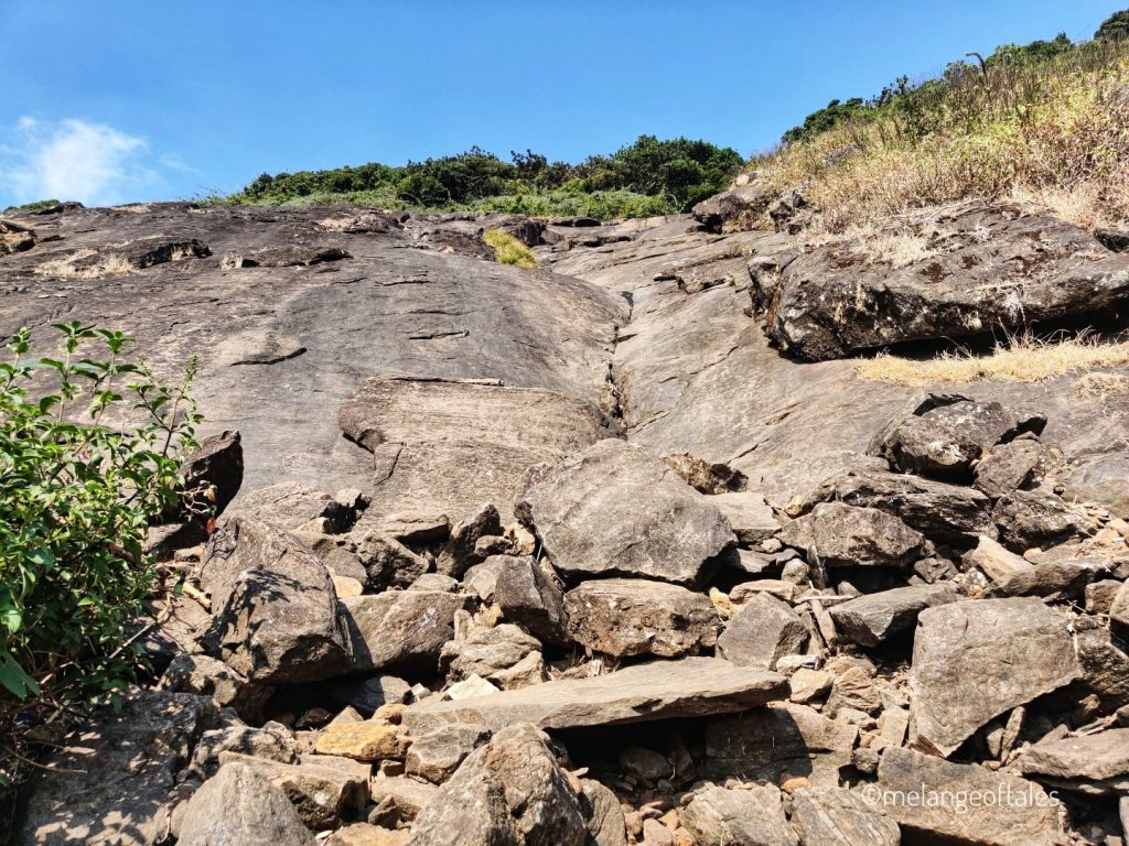
You can see flags when you reach the Kumara Parvata peak. It took us almost 5 hours to reach the peak from the Forest Office. The time taken depends on the trekker’s speed and fitness.


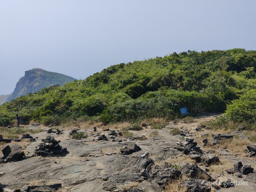
The descent was quick, and we reached the Forest Office around 6 pm.
Camping at the Forest Office
You have to be quick in finding some space to camp in the Forest Office area especially during weekends due to the high influx of trekkers and trekking groups.
There is a restroom for public use, and there is also availability of fresh water from the taps for washing yourselves up after the trek. I remember getting refreshed and having an early dinner at Bhattara Mane around 7 pm, going back to our tent and sleeping. When I woke up it was 5 am in the morning. 🙂

We got our deposit of Rs.500/- and put on our trekking clothes again and started descending around 6.45 am. It hardly took 2 hours for us to descend to the trek finishing point (same as the starting point).
Note: There have been quite a few deaths on this trek mainly due to lightening in the monsoon season. There is also a possibility of forest fires during summer. So you will not be allowed to trek to Kumara Parvata during summer and monsoon.
After Trek Completion
We rented a room to get refreshed, visited the temple and had our lunch there at the temple before reaching the bus stand around 1 pm. We boarded a bus that was going to Bangalore and reached Bangalore around 8 pm.
After trekking to Kumara Parvata we realize that the treks in Western Ghats are no less challenging to their Himalayan counterparts.
Click here to check more of my adventures.